Alpi 4000


Click on the start or finish to discover more about the checkpoints
A challenging start.
Departure from the sports center of Bormio, altitude 1225 m. Once you leave the sports center, take the Sp 29 towards S. Caterina Valfurva, the 12 km that separate Bormio from S. Caterina take us to an altitude of 1,734 meters. Here begins the climb to P.sso Gavia. The first time of P.sso Gavia on the Tour of Italy dates back to 1960. Legendary stories have been told about this climb with epic feats by the runners.
From the Mortirolo Pass, go back for 200 meters to the crossroads for Monno and then take the road on the right that leads to Trivigno, a panoramic road at high altitude that faces the Valcamonica on the left and the Valtellina on the right.
Descent to the Aprica Pass, and then down the valley to Tresenda where on the Valtellina cycle path, we first arrive in Morbegno. Then in the direction of Lake Como, we reach Colico and skirting the lake passing through Bellano we arrive in Varenna.
Ferry that takes us to Bellagio. Here begins the ascent of the Madonna del Ghisallo, 10 km with the challenging initial part. Arrival at the pass in Magreglio. Long fast descent that leads us to Asso. Then you enter Brianza, there are no long climbs but the path is very undulating until you reach the control of Rescaldina.
Totally flat route. From Rescaldina towards Piedmont crossing the bridge over the Ticino at Oleggio. Small ups and downs on the Novara hills to then move to the plain passing the Sesia river and its rice fields up to Biella
A challenging stage but one that leads us to climb two typical climbs of the Tour of Italy. The departure from Biella and immediately uphill towards the sanctuary of Oropa located 1,159 above sea level, the scene of epic battles in the tour of Italy. From the Sanctuary, standing at high altitude on a path that is unpaved in some points, you go down to Andrate. The track takes us across the plains to the Orco valley in the Canavese area. The road passing through Courgnè in constant ascent takes us to 1062 meters above sea level of Noasca.
You leave the refuge and after two km turn right and start the climb in one of the most beautiful sceneries that the Alps can offer. We are in the heart of the PARCO DEL GRANPARIDISO. The climb winds through an enchanting and uncontaminated setting where respect for the environment is felt in the air. After a first series of hairpin bends, we arrive at 2275 meters above sea level of Lago Serrù, site of a stage finish of the Tour of Italy. The road continues up to the Agnes lake at 2300 meters above sea level.
From Meana di Susa you go up towards the 2178 meters of Colle delle Finestre, a long and demanding climb with the last 8 km of dirt road. The next descent takes us to Val Chisone to then tackle the 2035 meters of Sestriere. A long descent that first takes us to Cesana Torinese and passing through Oulx to the end of the descent in Susa. It returns to the route of the previous stage in Val Susa up to the control of the Bicigrill of Chiusa di San Michele
Leave the Susa valley in Avigliana in the direction of Venaria Reale. Panoramic passage in front of the Royal Palace. We are on the plain as far as the brow of the Santa Croce pass 359 meters which leads to Strambino. Then with small ups and downs up to the lake of Viverone.
Completely flat stage. From Viverone towards Balocco and Buronzo, up to Ghislarengo on the Sesia river. From here the road is the same as in stage 4 up to Rescaldina. Streets of rice fields and vineyards
Completely flat stage. Avoiding the big centers, the road takes us from Rescaldina to cross the whole Brianza area until reaching the territory of the province of Bergamo at the beginning of the lower Cavallina valley in Trescone Balneario.
From Trescone, go up the entire Cavallina valley and skirt the left bank of Lake Endine. Descend to Lovere and skirt the whole of Lake Iseo up to Iseo. From here a succession of bumps in panoramic scenarios, first the climb to the 679 meters of the Passo Tre Termini, then to the 653 meters of the Cocca di Lodrino, follows the 692 meters of the Sella di Preone and finally the 946 meters of the Passo di San Rocco. The descent towards Lake Garda in Gargnano. A few km of the Gardesana state road to be tackled with a lot of ATTENTION. A few tunnels until reaching Campione del Garda.
From Vesio descent on the lake to Limone del Garda. You get on the Gardesana by carefully walking through the last tunnels. Passing from Riva del Garda to Arco. From here on the cycle path you arrive at Sarche. Direction Ponte Arche, start the climb on the state road and then leave it at the fifth bend before the tunnels.
The passage in the Sarche gorges on a cycle path in a splendid setting. From Villa Banale begins the slow ascent towards Lake Molveno up to the 1040 meters of Andalo. Last km downhill to get to Spormaggiore
Difficult stage
From Spormaggiore 5 km downhill until you reach the SS 43 della Valle di Non. At the roundabout towards Vigo di Non to avoid the SS. On the municipal road up to Taio. A few km on the SS 43 up to Malgolo and then take the cycle path up to Fondo.
From here begins the ascent to Passo Palade at 1518 meters. Long descent towards Merano.
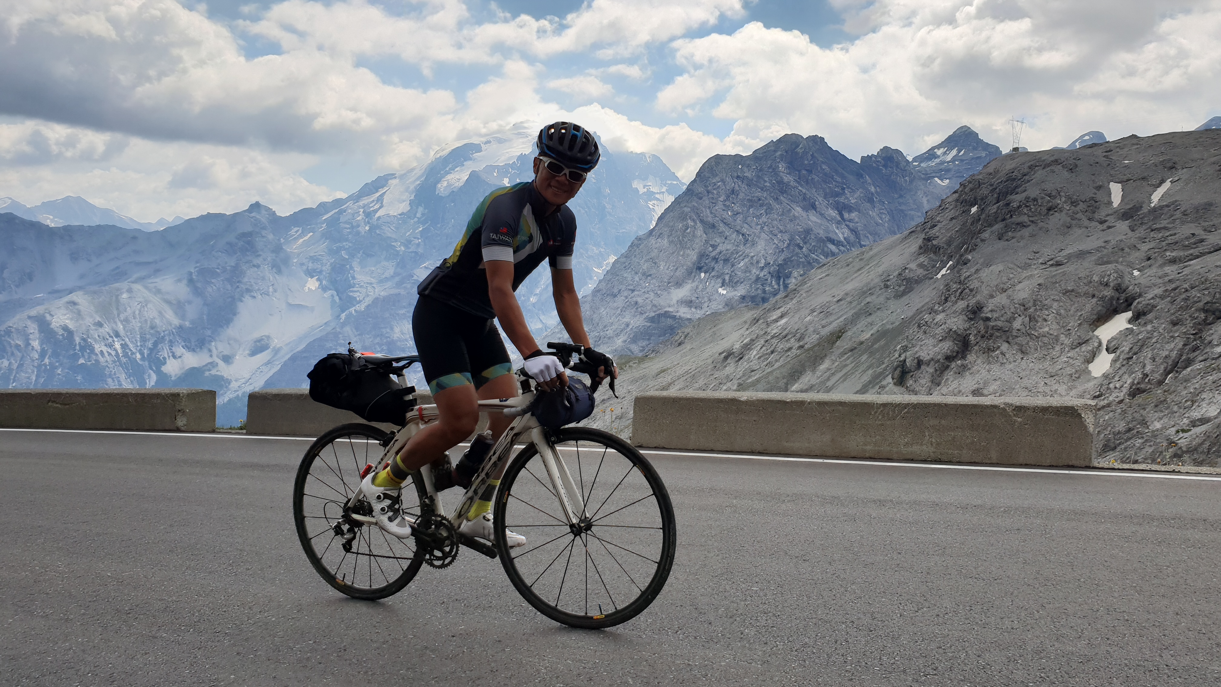
It is the last effort, but it is also the queen stage of ALPI 4000 with the ascent of RE STELVIO
From Merano staying on the Val Venosta cycle path up to Prato allo Stelvio (918 m a.s.l.). From here you go up for 25 km, with ever increasing slopes.